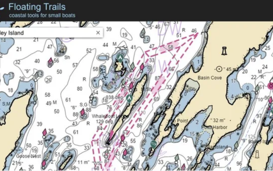
Joe Berkovitz of our neighboring club North Shore Paddlers Network has created a free-access website called Floating Trails (https://floatingtrails.com) designed for researching and planning trips in kayaks or other small boats. In this Zoom-based event, Joe will demonstrate how to use Floating Trails to…
- Browse NOAA marine charts, satellite layers and street maps
- Visualize tides and currents
- Plan your own routes
- Discover new put-ins and destinations
- Print custom marine charts sized for your deck, including route and tide information
- Get weather forecasts and buoy observations
- Share all of this information online with your paddling partners
Watch recording at https://www.smskn.net/club-documents/presentations/.